Methods used to locate abandoned wells
Pennsylvania provides a model for other states in how to use old records and new technology to locate abandoned wells before new wells are drilled. Here are some of the methods.
Records: Old maps and well records held by counties, drilling companies and archives, such the Drake Well Museum, hold clues to the location of old wells. But they are not always precise. The state Department of Environmental Protection is using all available records to build a new database of well locations.
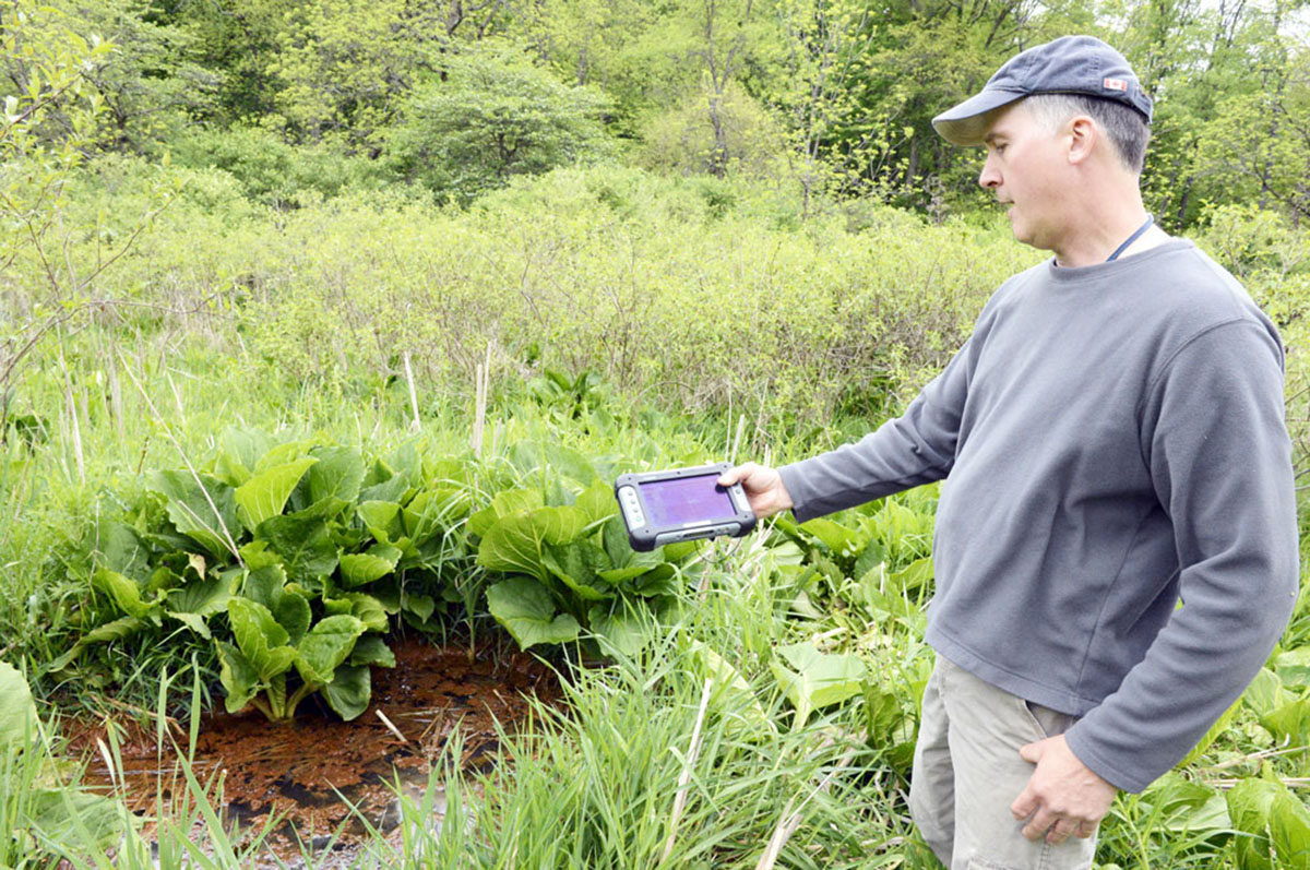
Aerial survey: Steel well casings distort the earth’s magnetic field. In western Pennsylvania, researchers with the U.S. Department of Energy’s National Energy Technology Laboratory have used helicopters with magnetic sensors to detect abandoned wells on three state-owned properties. Results are being confirmed with ground surveys. And researchers at Mansfield University in the north-central part of the state plan to survey suspected well sites with ground-penetrating radar and camera-equipped drones.
Ground survey: The state has recruited senior citizen volunteers to comb the woods for abandoned wells in Oil Creek State Park, site of the first U.S. oil boom.
Complaints and reviews: Landowner complaints about old wells and equipment, and site-reviews before new drilling, can reveal previously unknown wells.
— Shane Hoover